HomeTechnology

Survey, targeting and the system that runs on top

Multispectral acquisition, machine-assisted anomaly ranking, and a business platform that carries the result through to the budget it affects.

Multispectral & radarAnomaly rankingField verificationNajd Office
Targeting

It narrows the ground. Crews still walk it.

Ranked targets are a prioritisation tool, not a discovery. Nothing enters a drilling programme without a crew standing on it first.

Raw satellite survey, multi-sensor data fusion, and the ranked interpretation that comes out of it. Location and code redacted — the method is ours.
Three steps: submit ground, assessment, decision-ready targets.
Conventional coverage spreads a budget thin. Ranked ground concentrates it.
Six layers of evidence, weighted into one score.
Parcels assessed, priority targets and model confidence.
Ranked open targets, cross-checked against the mining cadastre.
Prospectivity model surface across a licence. Height and colour are the same quantity.
Coordinate assessment against the nearest analogue system.
Repeat coverage over the licence — every pass, and the one that ranked it.
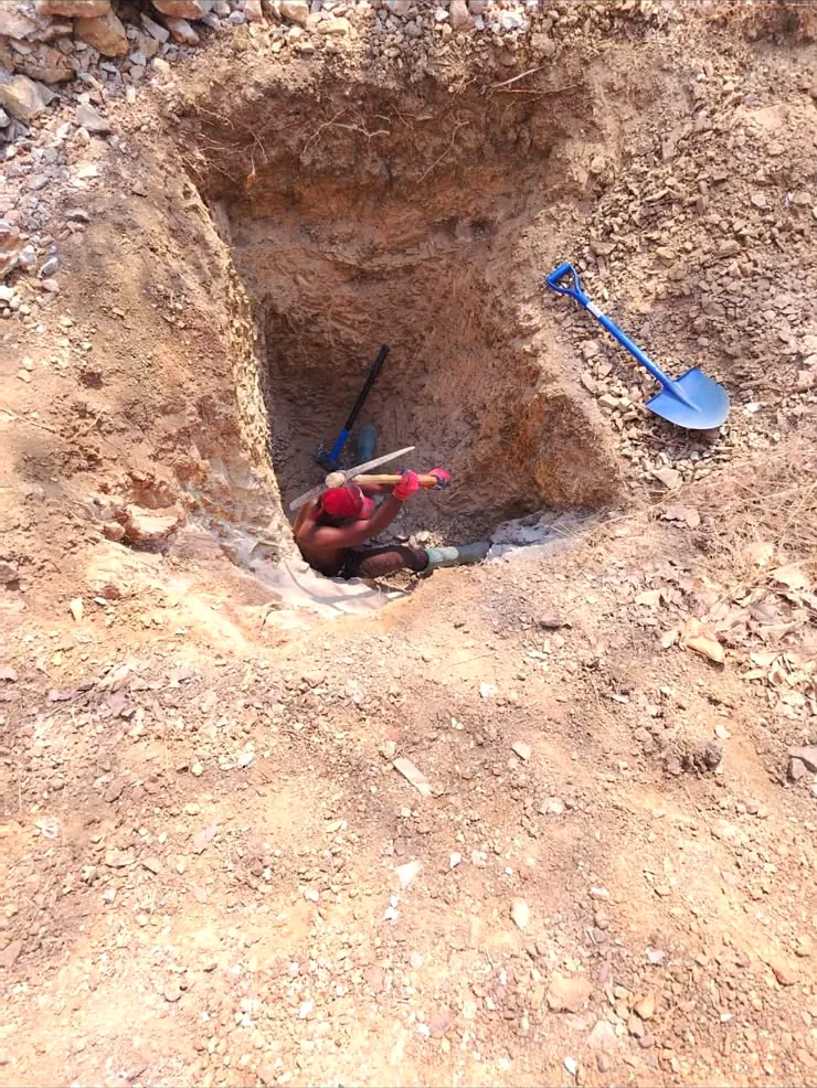
Field verification: a costean cut by hand on the highest-ranked ground.
Pipeline

Imagery to a decision.

The fourth step is the one that separates this from a data product. Verified samples build the model; the model decides where equipment goes.

01

Acquire

Multispectral and radar imagery over the whole licence, not a sample of it.

02

Detect

Models trained on verified occurrences rank alteration and structure by confidence.

03

Verify

Crews walk the highest-ranked ground. Nothing is drilled on a screen alone.

04

Model

Verified samples build the resource model, and the model decides where equipment goes.

The system

The result has to reach the budget.

A target that never reaches the spending decision is an expensive picture. Najd Office is the platform that carries survey output, field results, equipment cost and compliance into one place where the same numbers drive the decision.

It was built for our own operations across three countries and three currencies, against a filing calendar that does not forgive. It is now licensed to other operators on an annual subscription.

Every action is logged, documents are encrypted in the browser before they leave it, and access is role-based down to the individual record.

Projects, budgets and headcount in one place
Three currencies, rate frozen at approval
Encrypted document vault
Audit log behind every action
Najd Office — the executive dashboard, read from live data
Honest limits

What this does not do.

Stated plainly, because the industry's marketing on this subject is not.

It does not find depositsIt ranks ground by resemblance to ground that was productive elsewhere. That is prioritisation, and it is valuable, but it is not discovery.
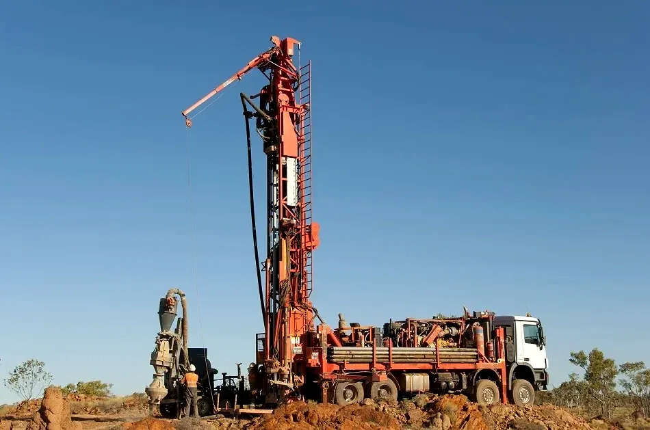
It does not replace drillingNo imagery of any kind establishes grade at depth. The model tells you where to spend the drilling budget, not whether to skip it.
It does not hide failuresTargets that fail field verification are reported as failures. A method that never produces a negative result is producing reassurance, not information.
Next step

Send us a coordinate.

A licence boundary or a single point is enough to start. You will get back what the imagery supports, what it does not, and what a verification programme would cost.

What we need from you
Licence boundary or a coordinate and radius
Country and district
Known occurrences nearby
Whether you hold the ground already